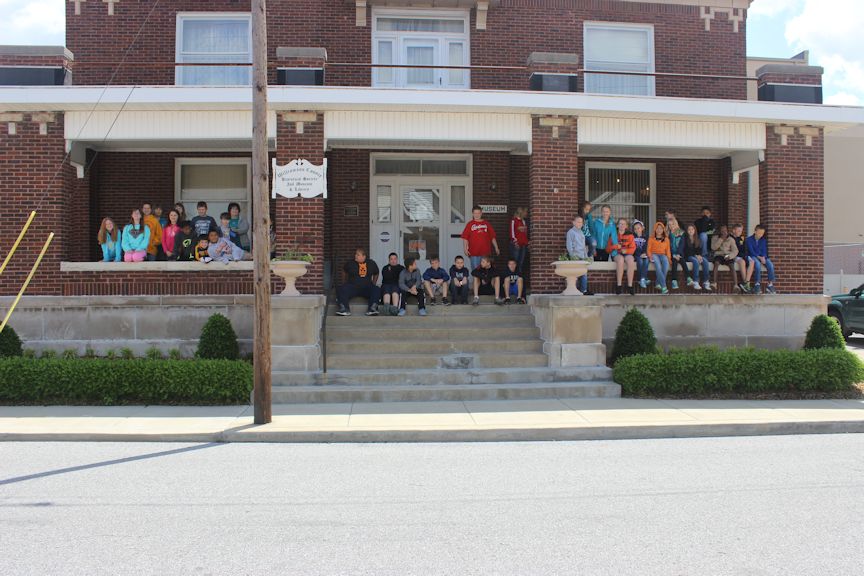
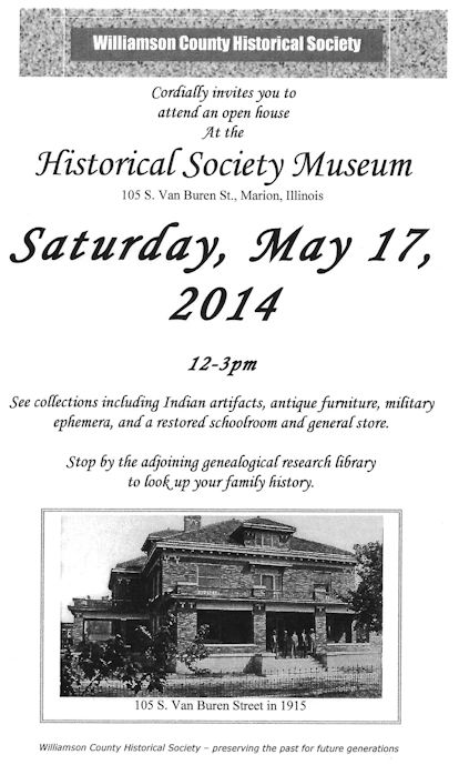
Over thirty students of the Jefferson School from Marion toured the Williamson County Historical Society Friday, May 16th, 2014. The students, all fifth graders, were part of a tour arranged by teacher, Wendy Goodman, who schedules her students on tours each year at the museum. Continue reading
Steven Seim, a resident of Wisconsin, recently contacted us to make us aware of some work he has taken on. Steven is attempting to catalog all of the cemeteries throughout the Midwest established for residents of asylums, poorhouses, poor farms, prisons, orphanages, and similar institutions – in other words, cemeteries for the unclaimed. Most of the individuals laid to rest in these cemeteries were forgotten in their own lifetimes. It is my hope that they will not be forgotten to history. Continue reading
The Special Collections Research Center at Morris Library (SIU) is celebrating the sesquicentennial of the Civil War by hosting a national exhibit and three speakers.
Civil War 150, a national traveling exhibit, will be on display at Morris Library’s Special Collections Hall of Presidents from April 28 to May 16. This exhibit traces major events during the Civil War through the eyes of soldiers, presidents, freedmen, and families. A companion display highlights the impact of the war on Southern Illinois, showcasing the letters of local soldiers and their wives. To celebrate this exhibit, the Special Collections Research Center welcomes three guest speakers to the Hall of Presidents and Chancellors. Continue reading
An interesting book was published in 1977 by Glenn J. Sneed called “Ghost Towns of Southern Illinois.” A copy of it can be found in the Williamson County Historical Society’s museum research library. I have recently used this book to add about 45 new histories related to the ghost towns of Williamson County to our History Page. Continue reading


